Using social media information in transport- and urban planning in South Africa

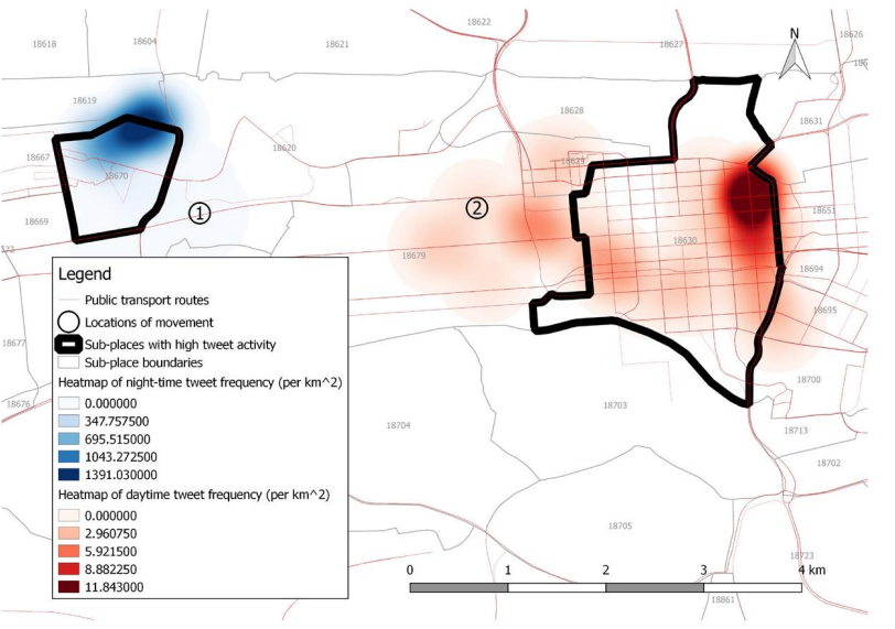
Transport- and urban planning often involves the use of large-scale simulation modelling with data sources that include, among others, the national census, the National Household and Travel Survey (NHTS) as well as trip diaries. Many of these sources of data are costly and time-consuming to obtain, clean and analyse. This paper explores the significance of social media platforms as a source of open, more accessible data to infer people’s movement and land-use patterns, by focussing on the City of Tshwane Metropolitan Municipality in the Gauteng Province of South Africa. Users of social media platforms, such as Twitter, Foursquare and Flickr, post millions of publicly available updates each day. Some of these postings have spatial-temporal characteristics in the form of geo-tagged, time-stamped metadata fields. In this paper, data-mining techniques are used to obtain, extract, and analyse data from social media to illustrate the usefulness of such open data in the transport- and urban planning domains in South Africa.


Comments