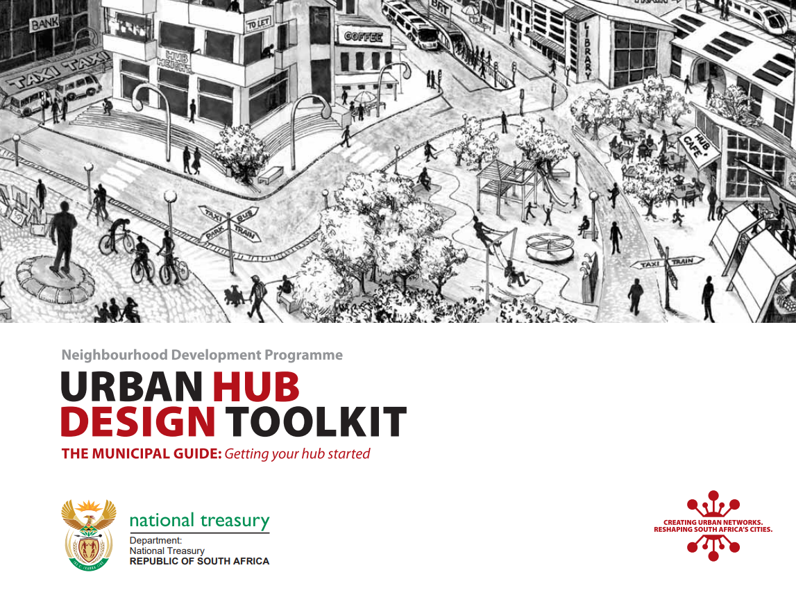
Urban Hub Design Toolkit

The Unit for Neighbourhood Development Programme (NDP) of the National Treasury has formulated a guide and roadmap called the Urban Networks Support Guide, which outlines a suggested planning process along with various toolkits and manuals showcasing best practices. These resources are aimed at facilitating infrastructure project sequencing and spatial planning.
One of the supplemental toolkits, the Urban Hub Toolkit, presents a systematic approach to aid in the planning and development of Urban Hubs. The structure and content of the toolkit have been informed by an approach that acknowledges the importance of understanding structural–spatial relationships in ordering human activities in space. The toolkit therefore explains the transport, roads, and land use planning tasks in detail, as each of the decisions made in respect of these, has implications that affect urban performance. The performance of the public realm in particular is as dependent on the relationship between various land uses and the land uses and transport services as it is on the attention to the design of the spaces and streets. The first parts of the toolkit therefore focus on larger scale concerns and the second on the finer-scaled level of design consideration both of which are equally as important to the quality of what is realised at the end of the implementation process.
Urban Hub Design Toolkit (PDF, 2.93MB)
The Urban Hub Design Toolkit is a process guide and evaluation tool for municipal officials who will be overseeing the work of planners and designers engaged with Urban Network planning. This Toolkit works in conjunction with the Practitioners’ Guide.
Urban Hub Design Toolkit Practitioners’ Guide (PDF, 2.93MB)
This document serves as a guide for practitioners appointed by municipalities to assist in the planning and design of the hubs and simultaneously an evaluation tool for the NDP who will be overseeing the work of the Municipalities. The structure and content of the toolkit are informed by an approach that acknowledges the importance of understanding structural–spatial relationships in ordering human activities in space. The toolkit therefore explains the transport, roads, and land use planning tasks in detail, as each of the decisions made in respect of these, has implications that affect urban performance.
Integration Zone Planning Guidelines (PDF, 1.68MB)
This documentation is a component of a comprehensive set of instructions and toolkits offered by the National Treasury. Its aim is to aid municipalities, government departments, state-owned entities, and investors in enhancing the inclusive economic performance of cities through the perspective of built environment planning. Supporting the Urban Network and Integration Zone ideas is the necessity for a comprehensive city-level strategy to achieve cohesive agglomeration. This resource offers directives on incorporating outcome-driven Transit-Oriented Development (TOD) principles within Integration Zones. This manual tackles the planning scale between citywide urban network planning and local or precinct planning. It concentrates on implementing measures for crucial integration zones.
Explore additional manuals provided by the Neighbourhood Development Programme of the National Treasury.
Abstract based directly on source.


Comments