Determining the availability of, and access to, fresh fruit and vegetables in Arcadia and Eastwood, Pretoria
Research shows that food choices are affected by the food environment. Similarly, the presence of fruit and vegetables in the home results in greater fruit and vegetable consumption by children. A food desert is an area without ready access to fresh, healthy, and affordable food, even though it may have food outlets. The main aim of public transport planning is to simplify the accessibility to facilities and services, such as one’s working place, shops, restaurants, clinics, visiting friends, etc. The use of a geographical information system (GIS) may help to identify spatial inequalities in access to healthy food, and help urban planners modify the food environment accordingly. Poor availability and accessibility of fresh fruit and vegetables in shops is associated with lack of dietary diversity, under-nutrition and obesity.
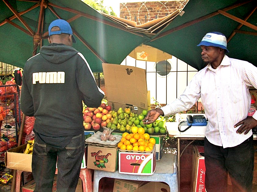
This study combined both field work in the suburbs of Arcadia and Eastwood in Pretoria, and data analysis to investigate access to retail outlets (formal and informal) and the availability of fresh fruit and vegetables. The study also considered the various modes of transport available, walking distances carrying shopping, and population densities and characteristics. The availability of fresh fruit and vegetables in retail outlets was measured by a simple classification of fruit and vegetables. Transport nodes, transport frequency and buffering were used to determine accessibility.
Based on the literature and personal experience, an acceptable walking distance of 400m was used. A large number of the households are within an acceptable walking distance of food shops, bus-stops and/or taxi routes. Further, there is a high level of car ownership in the remaining parts of the study area, which is also a good indicator of accessibility to shops. There are several shops (formal and informal) that sell a variety of fruit and vegetables in the study area. Our results show that shops with fruit and vegetables are moderately available in the study area. Future research should investigate the link between the food environment and actual food behaviours in this area.
Comments